Sage Butler · 9 October 2026
Photography Projects Illuminate Microscopic Textures in Conserved Bryophyte Zones
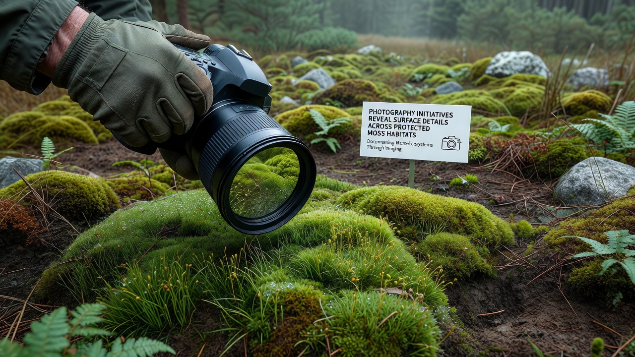
Photography initiatives have expanded across conserved bryophyte zones in recent years, and they continue to document surface characteristics that remain invisible to standard observation methods. Teams equipped with macro lenses and controlled lighting systems capture high-resolution images that highlight cellular structures, moisture patterns, and substrate interactions within these environments, while data collected from multiple sites show consistent improvements in detail resolution compared to earlier surveys conducted before 2020.
Equipment upgrades play a central role in these efforts, and researchers deploy time-lapse setups alongside multispectral cameras that record variations in chlorophyll distribution and surface hydration levels across different seasons. In regions managed under habitat protection frameworks, such as those overseen by the Australian Department of Climate Change, Energy, the Environment and Water, these tools have produced image sets that allow repeated analysis without repeated physical contact with the moss colonies themselves.
Technical Methods Behind Surface Documentation
Standard DSLR systems fitted with extension tubes and ring flashes form the backbone of many field operations, yet some programs incorporate drone-mounted rigs for broader coverage in remote areas where ground access proves limited. Calibration protocols ensure color accuracy across sessions, and software stitching combines overlapping frames into composite views that reveal how individual moss cushions respond to microclimatic shifts. One project in a Canadian protected area demonstrated that polarized filters reduce glare from wet surfaces, thereby exposing underlying growth rings that indicate annual expansion rates.
October 2026 marks the scheduled rollout of an international coordination phase, during which participating organizations will standardize metadata formats so that image archives from different continents can undergo direct comparison. This step addresses previous inconsistencies in file naming and scale references, and it builds on preliminary tests completed during 2024 field seasons in northern Europe.
Image analysis software now processes thousands of frames automatically, and algorithms detect subtle color gradients that correlate with nutrient availability or pollutant exposure. Those who manage the resulting datasets note that automated flagging of anomalies speeds up identification of areas requiring closer inspection, while manual review remains essential for confirming biological significance.
Applications in Habitat Monitoring Programs
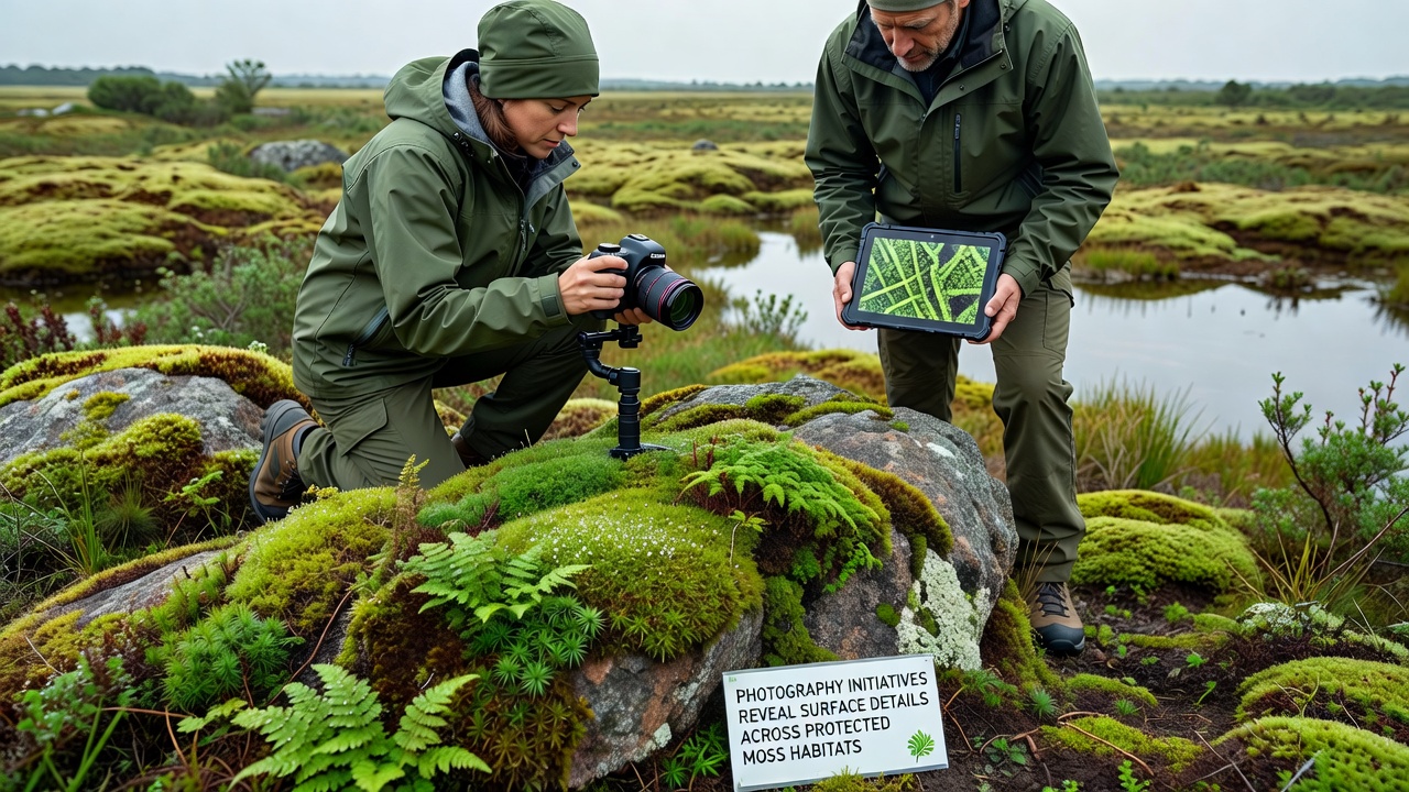
Conservation agencies integrate these photographic records into long-term monitoring frameworks that track changes following restoration activities or climate events. For instance, baseline image libraries compiled before major weather incidents provide reference points against which post-event photographs can be measured, and quantitative comparisons have quantified reductions in surface coverage after prolonged dry periods. The European Environment Agency maintains an open repository that accepts contributions from such projects, allowing cross-border analysis of bryophyte responses under varying regulatory regimes.
Training workshops organized by academic institutions teach field technicians how to maintain consistent camera angles and lighting angles, and these sessions emphasize non-invasive positioning techniques that prevent compression of delicate growth layers. Participants practice on sample plots before moving to actual protected sites, and follow-up evaluations confirm that standardized procedures improve repeatability across different operators.
Additional sensors mounted alongside cameras record temperature, humidity, and light intensity at the moment of capture, and these contextual measurements strengthen correlations between visual features and environmental conditions. Data fusion techniques combine photographic output with LiDAR scans in select pilot locations, producing three-dimensional models that illustrate how moss surfaces interact with underlying soil or rock substrates over time.
Future Coordination and Data Sharing
International working groups formed in 2025 continue to refine best practices for metadata tagging, and they plan joint publications that aggregate findings from multiple protected zones. Funding streams from national science foundations support equipment loans to smaller research teams, thereby broadening participation beyond well-resourced institutions. Observers note that shared image libraries reduce duplication of effort, allowing new initiatives to focus on previously under-documented species or geographic gaps.
Conclusion
Photography initiatives supply verifiable visual records that support evidence-based decisions in bryophyte conservation, and ongoing refinements in equipment and analysis methods expand the range of detectable surface details. Coordination efforts scheduled for October 2026 aim to further align practices across regions, while existing datasets already demonstrate measurable value in monitoring programs. Continued investment in these techniques sustains the capacity to document protected habitats with increasing precision.